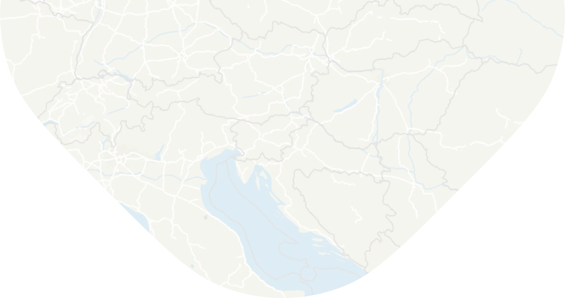
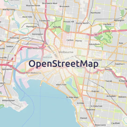
Basic map for overlays
The perfect lightweight and informative basemap for overlaying your own geodata.
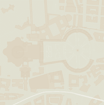
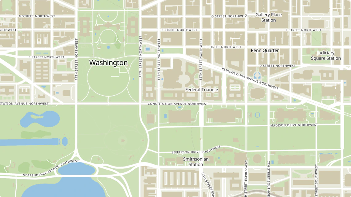
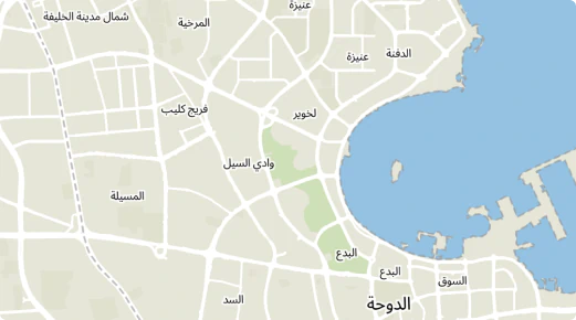
Basic map context with minimum distraction
Let your spatial data shine on top of the Basic map style.
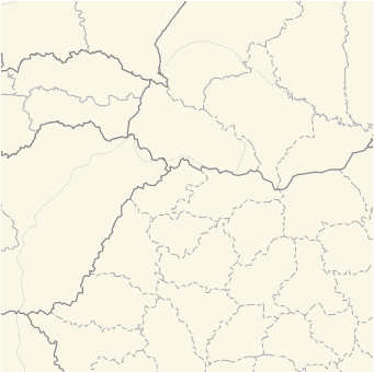
Administrative boundaries
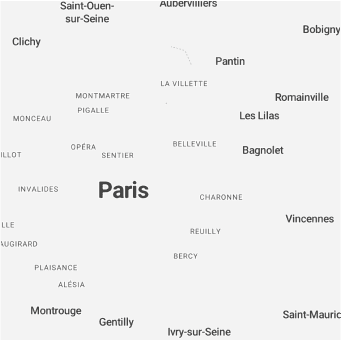
Named places

Roads network
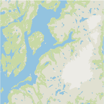
Natural features
Building footprints
Add your own data on top
MapTiler Basic is designed for overlaying your geospatial data with style. Users may not get distracted by vivid colors or flashy icons and thus focus on your data rather than on the background.
Use this map as a foundation for store locators, citizen portals, mobile apps, or business intelligence dashboards.
Cartographic assets
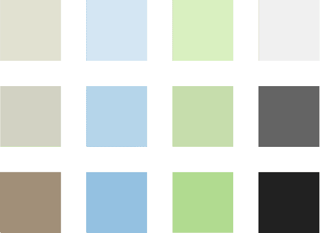
A pale color palette lets your analytics data shine out. Your data overlay will get better readability without distraction by less critical basemap features.
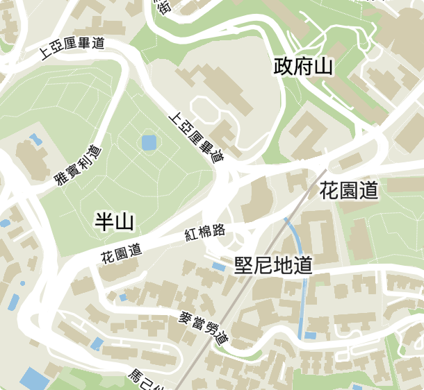
Place locations are highlighted by simplistic typography. The readability of labels is improved by contrasting pastel colors in the background and dark grey labels on top.

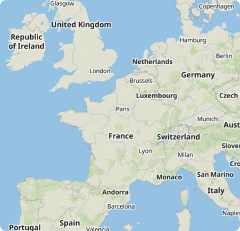
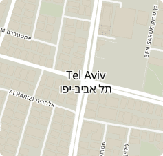
Multilingual
Use MapTiler Basic is the language of your audience. More than 70 languages are supported.
Other map styles


Start using Basic via Maps API
https://api.maptiler.com/maps/basic-v2/?key=YOUR-API-KEY